
 |
God made the country and man made the town. -William Cowper |
 |
|
 |
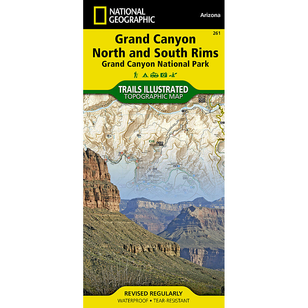
Completely redesigned and updated, this map provides an enhanced scale and detail for the highest visitation area of the park surrounding the Grand Canyon South Rim Visitor Center and the Bright Angel Trail. . Features an enhanced scale (1:35,000) for increased detail in this high-use area of Grand Canyon National Park: Bright Angel Canyon, North and South Rims. Colorado River miles 60-98, North and South Rim visitor centers, Grand Canyon Village, Grand Canyon/National Geographic IMAX. Bright Angel Trail (plus elevation profile), West Rim Trail, Kaibab Trail, Arizona Trail, Grand Canyon Lodge, Tusayan, Grand Canyon Railroad Station and more. Features detailed and easy to read trails, accurate road network, campgrounds, scenic overlooks and points of interests. Visitor centers and facilities. Color-coded bus stops with routes. Park regulations, permit information, backcountry use areas, and contact information for local agencies. GPS compatible; full UTM grid. Approximately 4 1/4 x 9 1/4 in. folded; 27 x 39 in. fully opened. Scale = 1:35,000. 2009 edition. Replaces NG Grand Canyon Map # 207 9781566954952 26988500015 TI00000261