
 |
God made the country and man made the town. -William Cowper |
 |
|
 |
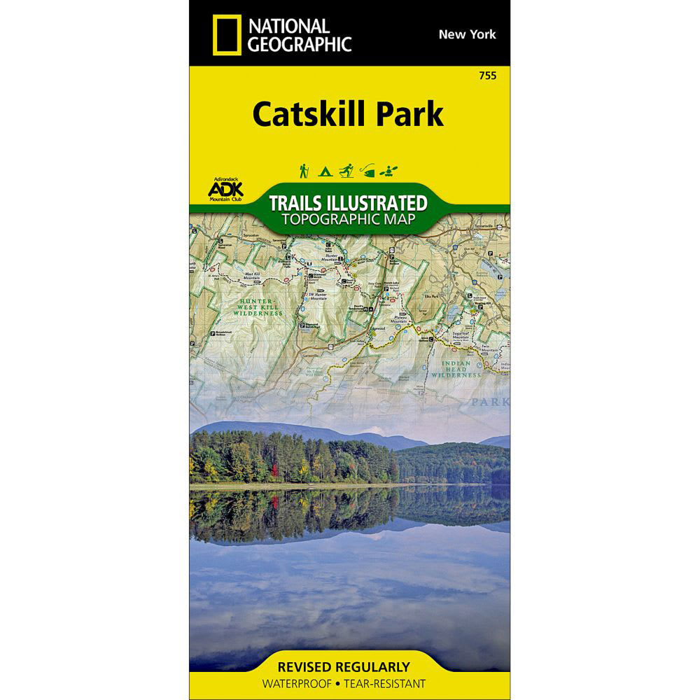
National Geographic's recreational map of Catskill Park is a two-sided, waterproof map designed to meet the needs of outdoor enthusiasts with unmatched durability and detail. . Created in partnership with the Adirondack Mountain Club (ADK) which provided trail information from its Forest Preserve Series of trail guides. Scenic viewpoints, boat launches and canoe carry downs, swimming areas, fishing access points, ski areas, and other points of interest are clearly marked as are park and forest boundaries. Facilities noted including primitive campsites, shelters, picnic areas, restrooms, parking, RV dump stations, and universal access areas for the handicapped. The front of the Catskill Park map details the western half of the park. This includes Bear Spring Mountain Wildlife Management Area and Pepacton Reservoir to the western edge of Sundown Wild Forest and the Beaver Kill Range in the Big Indian Wilderness. The eastern half of the park appears on the back of the map. This half includes Schoharie Reservoir and Ashland Pinnacle State Forest to the north stretching south to Rondout Reservoir and Vernooy Kill State Forest. Printed on tear-resistant, waterproof material. Map is based on exact reproductions of USGS topographic map information, updated, customized, and enhanced to meet the unique features of each area. Map measures 26 x 38 in. and folds down to 4 1/4 x 9 1/4 in. 9781566955881 20455600012 TI00000755