
 |
God made the country and man made the town. -William Cowper |
 |
|
 |
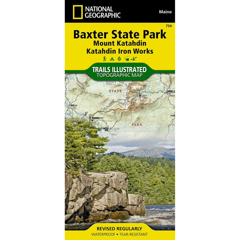
National Geographic's Trails Illustrated topographical maps, based on USGS information, are designed to take you into the wilderness and back. This is a comprehensive recreational map for Baxter State Park and Mount Katahdin in Maine. . Features the Appalachian Trail, KI-JO Mary Forest, Katahdin Iron Works and Roach Ponds, Maine Parks, and Public Reserved Lands. Each map is based on exact reproductions of USGS topographic map information, updated, customized, and enhanced to meet the unique features of each area. GPS compatible with full ATM grid. Printed on waterproof, tear-resistant material with a plastic coating that offers supreme durability with a new color palette and stunning shaded relief. Includes detailed trail information, campground/camping sites, points of interest, trailheads, picnic areas, facilities, and more. Includes valuable wilderness tips and Leave No Trace guidelines. Dimensions: 4.25 x 9.25 in. folded; 25.5 x 38 in. fully opened. Scale: 1:63,360 (& 1:83,333). 2011 edition 9781566955850 20455500012 TI00000754