
 |
God made the country and man made the town. -William Cowper |
 |
|
 |
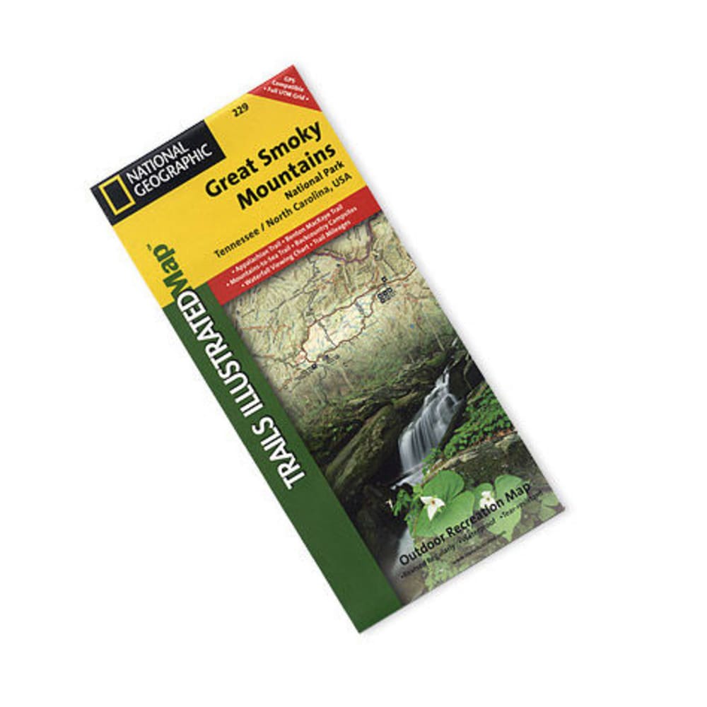
Nat Geo's Trails Illustrated??? topographical maps, based on USGS information, are designed to take you into the wilderness and back. Includes updated trails, trailheads, points of interest, campgrounds, and much more. The most comprehensive and complete recreational map for Great Smoky Mountains National Park, which straddles Tennessee and North Carolina. Printed on durable tear-resistant, waterproof material with a new color palette and stunning shaded relief. GPS compatible with full UTM grid. Includes Applachian Trail, Benton MacKaye Trail, Mountains-to-Sea Trail. Trail mileages. Backcountry campsite information. Waterfall viewing chart. Include valuable wilderness tips and Leave No Trace guidelines. Approximately 4 1/4 x 9 1/4 in. folded; 25 1/2 x 37 3/4 in. fully opened. Scale = 1:70,000. 1991 edition, revised 2007. Weighs 3.4 oz.. 749717012295 26988000015 TI00000229