
 |
God made the country and man made the town. -William Cowper |
 |
|
 |
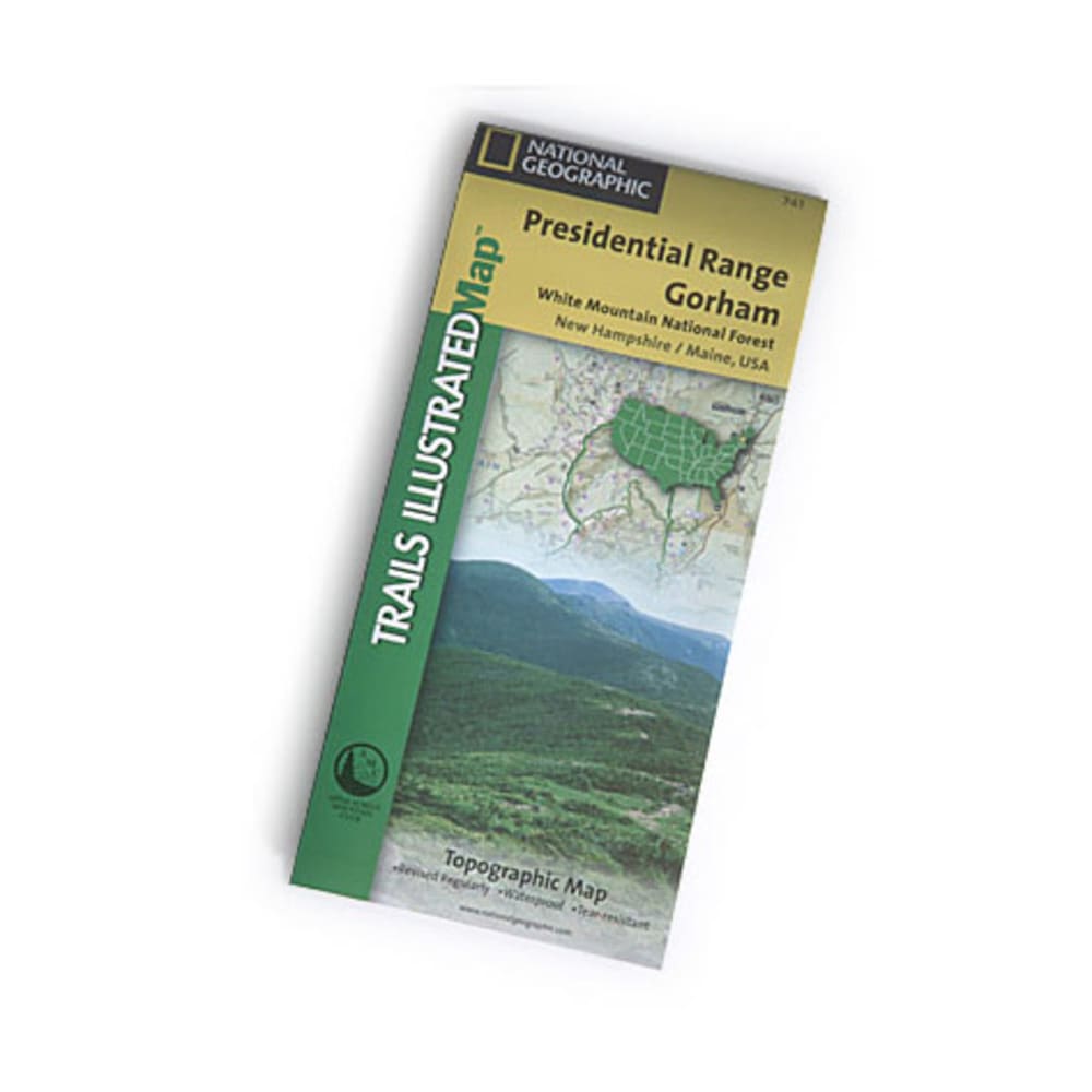
National Geographic's Trails Illustrated topographical maps, based on USGS information, are designed to take you into the wilderness and back. They show all trails, campsites, and recreational features, plus relevant information on wildlife history, geology, and archaeology. A comprehensive recreational map for the Presidential Range and Gorham area of New Hampshire's White Mountains. Printed on waterproof, tear-resistant material with a plastic coating that offers supreme durability. Dimensions: 4 x 9 inches folded; 28 x 32 inches fully opened. 2002 edition; scale: 1:63,360. 749717017412 20437600012 TI00000741