 |
God made the country and man made the town. -William Cowper |
 |
|
 |
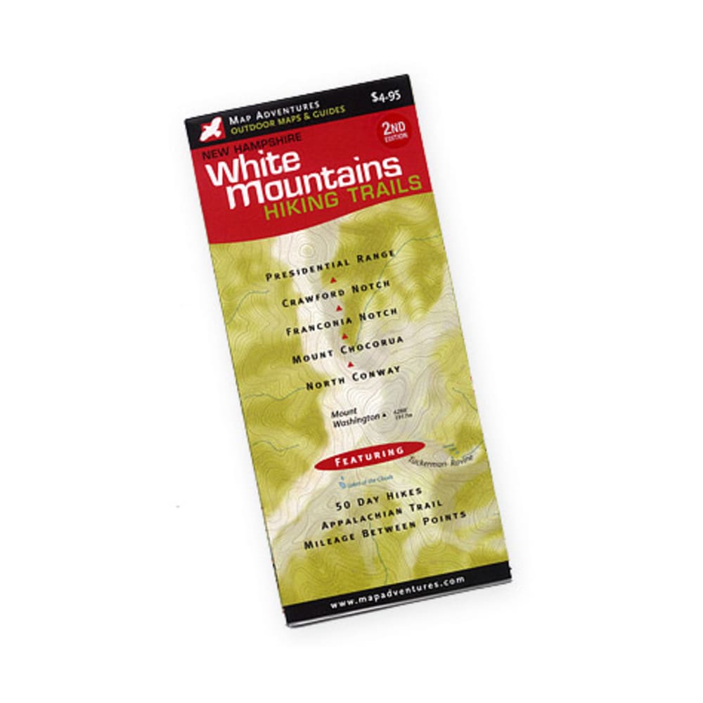
This richly illustrated color map covers the highest and most popular peaks in the White Mountains of New Hampshire. Features:. . . 50 day hikes with full descriptions. The Appalachian Trail. Difficulty ratings. Mileage between points on hiking trails. AMC and White Mountain National Forest Huts and campsites. UTM/GIS Grid. Updated trails and suggested hike info. Covers Crawford Notch, Presidential Range, Franconia Notch, Mount Chocorua, North Conway. Measures 9 x 4 inches. Weighs 1.2 ounces. 9781890060060 20448600012 103098