 |
God made the country and man made the town. -William Cowper |
 |
|
 |
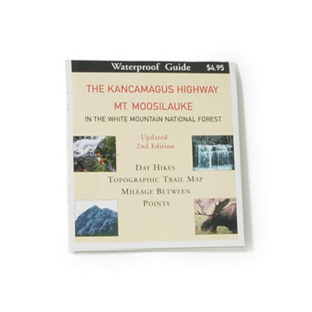
This waterproof guide map brings you that much closer to enjoying the beautiful Kancamagus Highway and Mt. Moosilauke. Eight Kancamagus Highway day hikes descriptions. Mileage points. Waterproof. Updated 2nd edition. Topographic contour intervals: 20 meters (65.6 ft). 4 x 4.5 in. folded, 24 x 9 in. unfolded. 0.8 oz.. 9781890060107 20447300012 103083