
 |
God made the country and man made the town. -William Cowper |
 |
|
 |
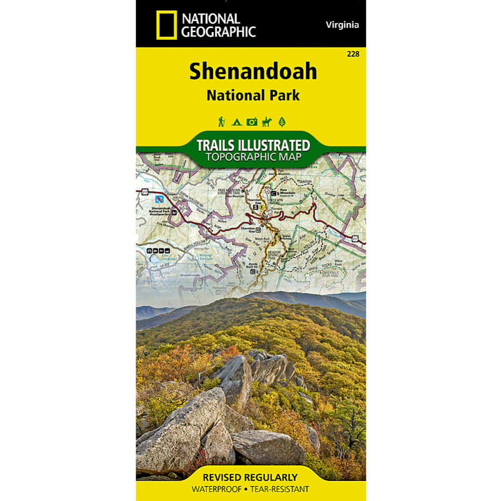
When you plan to hike the trails of Virginia???s Shenandoah National Park, let this map show you the way. This topographical map covers the park???s trails and outdoor attractions, including part of the Appalachian Trail, George Washington National Forest, and many waterfalls, and provides you with such key information as mileage between intersections and points of interest. Further, waterproof, tear-resistant construction holds up through the rugged conditions you???ll encounter. . . . Printed on ?ǣBackcountry Tough?ǥ waterproof, tear-resistant paper. . Full UTM grid helps with GPS navigation. . Includes mileage between intersections and key points of interest, such as campgrounds, visitor centers, and lookout towers. . Map includes:. . . . Wilderness areas. . Rapidan Wildlife Management Area. . Overall Run, Whiteoak Canyon, Cedar Run, Rose River, Dark Hollow, Lewis, South River, Doyles River, and Jones Run Waterfalls. . Cities Front Royal, Waynesboro, Harrisonburg, Shenandoah, Elkton, Grottoes, and Charlottesville. . George Washington National Forest. . The Appalachian Trail. . Shenandoah River. . Skyline Drive. . . . . . Measures 25.5 in. by 37.75 in. when flat. . Folds up to 4.25 in. by 9.25 in.. . 749717012288 20438000012 TI00000228