
 |
God made the country and man made the town. -William Cowper |
 |
|
 |
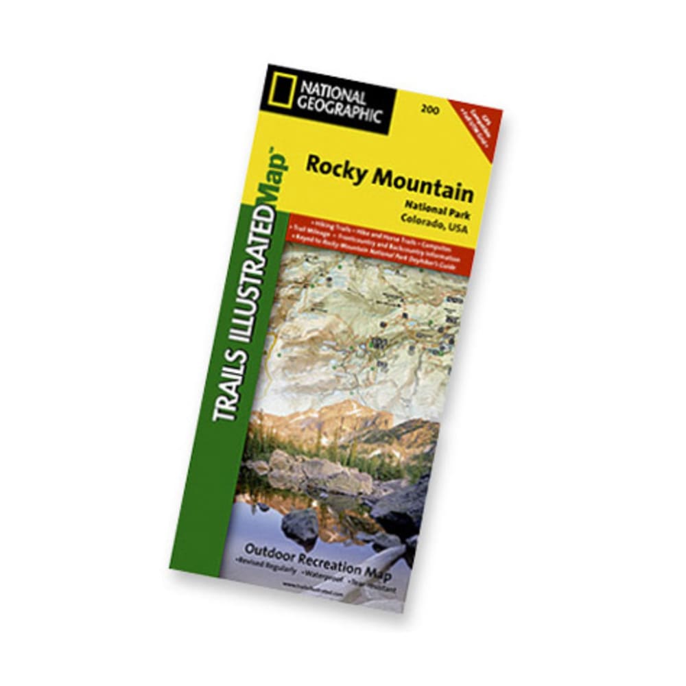
Nat Geo's Trails Illustrated??? topographical maps, based on USGS information, are designed to take you into the wilderness and back. The Rocky Mountain National Park Map shows hiking and horse trails, campsites, trail mileage, frontcountry and backcountry information. Coverage includes Rocky Mountain National Park, Arapaho and Roosevelt National Forest, Never Summer Wilderness, Arapaho National Recreation Area, and the cities of Granby and Estes Park. Revisions to this map include easy-to-read trail mileage and markers, hiking-only and hike and horse trails are easily distinguished, Federal, State and Private lands are clearly marked, and the Continental Divide Trail is highlighted. Includes UTM grids for use with your GPS unit. Includes safety and survival tips; Leave No Trace Outdoor Ethics; visitor information. Printed on waterproof, tear-resistant material with a plastic coating that offers supreme durability. Dimensions: 4.25 x 9.25 inches folded; 27 x 39 inches fully opened. Scale = 1:50,000. Map revised 2008. 749717022003 26988100015 TI00000200